
多却乡 topographic map
Interactive map
Click on the map to display elevation.
About this map
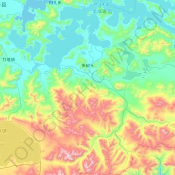
Name: 多却乡 topographic map, elevation, terrain.
Location: 多却乡, 浪卡子县, 山南市, 西藏自治区, 中国 (28.46943 90.57953 28.97716 91.07080)
Average elevation: 15,761 ft
Minimum elevation: 14,531 ft
Maximum elevation: 19,265 ft
Other topographic maps
Click on a map to view its topography, its elevation and its terrain.