

Cardiff topographic map
Click on the map to display elevation.
About this map
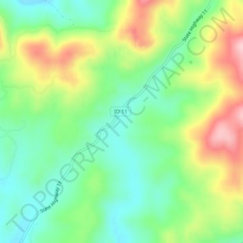
Name: Cardiff topographic map, elevation, terrain.
Location: Cardiff, Clearwater County, Idaho, United States (46.56435 -115.82236 46.58435 -115.80236)
Average elevation: 3,606 ft
Minimum elevation: 3,337 ft
Maximum elevation: 4,045 ft
Clearwater County trails, hiking, mountain biking, running and outdoor activities
Other topographic maps
Click on a map to view its topography, its elevation and its terrain.


Elk River
United States > Idaho > Clearwater County
Elk River is located at 46°46′58″N 116°10′48″W / 46.78278°N 116.18000°W / 46.78278; -116.18000 (46.782796, -116.180049), at an elevation of 2,854 feet (870 m) above sea level.
Average elevation: 2,976 ft