
Make a donation
Gear up for your next adventure:
As an Amazon Associate, this site earns from qualifying purchases at no extra cost to you.
Hitterdal topographic map
Click on the map to display elevation.
Make a donation
Gear up for your next adventure:
As an Amazon Associate, this site earns from qualifying purchases at no extra cost to you.
About this map
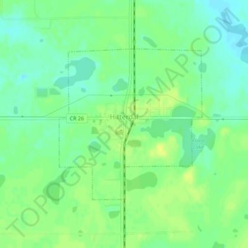
Name: Hitterdal topographic map, elevation, terrain.
Location: Hitterdal, Clay County, Minnesota, United States (46.96842 -96.26961 46.98484 -96.24680)
Average elevation: 1,243 ft
Minimum elevation: 1,211 ft
Maximum elevation: 1,273 ft
Clay County trails, hiking, mountain biking, running and outdoor activities
Make a donation
Gear up for your next adventure:
As an Amazon Associate, this site earns from qualifying purchases at no extra cost to you.
Other topographic maps
Click on a map to view its topography, its elevation and its terrain.
Make a donation
Gear up for your next adventure:
As an Amazon Associate, this site earns from qualifying purchases at no extra cost to you.
confluence of Red River of the North and Buffalo River
United States > Minnesota > Clay County
Average elevation: 879 ft