Geolocate

Platea topographic map

Click on the map to display elevation.

About this map

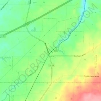
Name: Platea topographic map, elevation, terrain.

Location: Platea, Erie County, Pennsylvania, United States (41.94016 -80.35780 41.96491 -80.30546)

Average elevation: 896 ft

Minimum elevation: 751 ft

Maximum elevation: 1,093 ft

Erie County trails, hiking, mountain biking, running and outdoor activities

Other topographic maps

Click on a map to view its topography, its elevation and its terrain.

Little Hope

United States > Pennsylvania > Erie County

Average elevation: 1,421 ft

Erie

United States > Pennsylvania > Erie County > Erie

Average elevation: 833 ft

Jackson

United States > Pennsylvania > Erie County > Jackson

Average elevation: 1,306 ft

Belleview Heights

United States > Pennsylvania > Erie County

Average elevation: 1,171 ft

Gear up for your next adventure:

🪶Wildlife Field Guides - Learn animal tracking and species ID
📻Weather Alert Radios - Stay informed of storm risks while off-the-grid
🔭Stargazing Telescopes - Perfect for camping in low-light pollution areas shown on maps
🔭Telescopic Hiking Pole - Adjustable pole for hiking stability
🚗GPS Dash Cams - Record your scenic drives through mountain passes and canyons

As an Amazon Associate, this site earns from qualifying purchases at no extra cost to you.