
九真村 topographic map
Interactive map
Click on the map to display elevation.
About this map
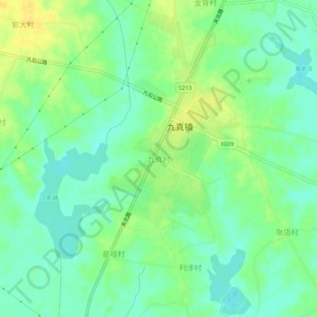
Name: 九真村 topographic map, elevation, terrain.
Location: 九真村, 天门市, 湖北省, 中国 (30.71972 113.18990 30.75972 113.22990)
Average elevation: 102 ft
Minimum elevation: 66 ft
Maximum elevation: 151 ft
Other topographic maps
Click on a map to view its topography, its elevation and its terrain.