
天门山 topographic map
Interactive map
Click on the map to display elevation.
About this map
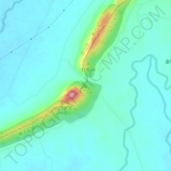
Name: 天门山 topographic map, elevation, terrain.
Location: 天门山, 天门市, 湖北省, 中国 (30.77073 112.97820 30.77083 112.97830)
Average elevation: 187 ft
Minimum elevation: 118 ft
Maximum elevation: 528 ft
Other topographic maps
Click on a map to view its topography, its elevation and its terrain.