
天门市 topographic map
Interactive map
Click on the map to display elevation.
About this map
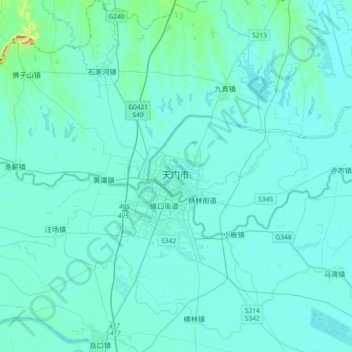
Name: 天门市 topographic map, elevation, terrain.
Location: 天门市, 湖北省, 中国 (30.50355 113.00162 30.82355 113.32162)
Average elevation: 105 ft
Minimum elevation: 66 ft
Maximum elevation: 587 ft
Other topographic maps
Click on a map to view its topography, its elevation and its terrain.