
冯桥 topographic map
Interactive map
Click on the map to display elevation.
About this map
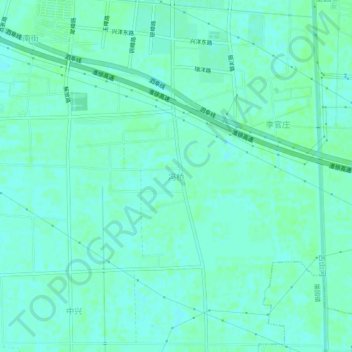
Name: 冯桥 topographic map, elevation, terrain.
Location: 冯桥, 宿迁市, 江苏省, 中国 (33.72472 118.37560 33.76472 118.41560)
Average elevation: 59 ft
Minimum elevation: 49 ft
Maximum elevation: 69 ft
Other topographic maps
Click on a map to view its topography, its elevation and its terrain.