
李圩村 topographic map
Interactive map
Click on the map to display elevation.
About this map
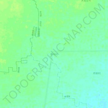
Name: 李圩村 topographic map, elevation, terrain.
Location: 李圩村, 宿迁市, 江苏省, 中国 (34.29454 118.61957 34.33454 118.65957)
Average elevation: 52 ft
Minimum elevation: 30 ft
Maximum elevation: 72 ft
Other topographic maps
Click on a map to view its topography, its elevation and its terrain.