
南运河 topographic map
Interactive map
Click on the map to display elevation.
About this map
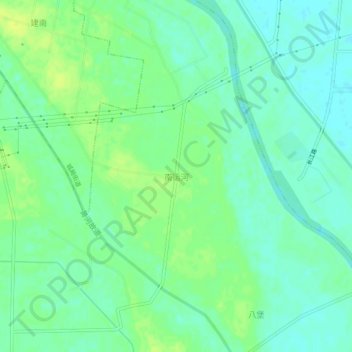
Name: 南运河 topographic map, elevation, terrain.
Location: 南运河, 宿迁市, 江苏省, 中国 (33.64475 118.70475 33.68475 118.74475)
Average elevation: 66 ft
Minimum elevation: 39 ft
Maximum elevation: 92 ft
Other topographic maps
Click on a map to view its topography, its elevation and its terrain.