
McDonald topographic map
Click on the map to display elevation.
About this map
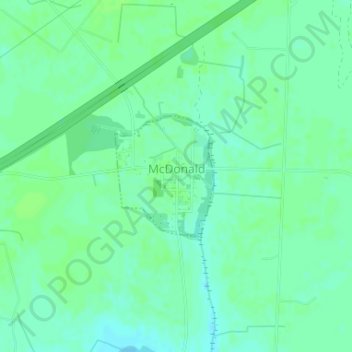
Name: McDonald topographic map, elevation, terrain.
Location: McDonald, Robeson County, North Carolina, United States (34.54891 -79.18116 34.55818 -79.17191)
Average elevation: 151 ft
Minimum elevation: 135 ft
Maximum elevation: 161 ft
Robeson County trails, hiking, mountain biking, running and outdoor activities
Other topographic maps
Click on a map to view its topography, its elevation and its terrain.
Lumberton
United States > North Carolina > Robeson County > Lumberton > Lumberton
Average elevation: 135 ft