Geolocate

Haining topographic map

Click on the map to display elevation.

About this map

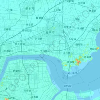
Name: Haining topographic map, elevation, terrain.

Location: Haining, Jiaxing, Zhejiang, 314400, China (30.26457 120.30142 30.59424 120.84480)

Average elevation: 16 ft

Minimum elevation: -16 ft

Maximum elevation: 768 ft

Gear up for your next adventure:

🧥Waterproof Jacket for Hiking - Breathable and rugged rain jacket for outdoor excursions
🗺️NatGeo Topo Maps - High-quality waterproof printed topographic maps of US Parks
📷Action Camera - Capture your outdoor adventures in HD
🥘Titanium Cookware - Durable, featherlight pots and pans for backpacking
📖Nature Tracking Books - Learn to track wildlife and terrain

As an Amazon Associate, this site earns from qualifying purchases at no extra cost to you.