Geolocate

Mayfield topographic map

Click on the map to display elevation.

About this map

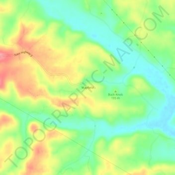
Name: Mayfield topographic map, elevation, terrain.

Location: Mayfield, Bollinger County, Missouri, United States (37.43422 -89.96927 37.47422 -89.92927)

Average elevation: 604 ft

Minimum elevation: 472 ft

Maximum elevation: 778 ft

Bollinger County trails, hiking, mountain biking, running and outdoor activities

Other topographic maps

Click on a map to view its topography, its elevation and its terrain.

Zalma

United States > Missouri > Bollinger County

Average elevation: 404 ft

Sedgewickville

United States > Missouri > Bollinger County

Average elevation: 614 ft

Glen Allen

United States > Missouri > Bollinger County

Average elevation: 525 ft

Gear up for your next adventure:

🧴Hand Sanitizer - Keep hands clean while hiking
🎒Outdoor Daypacks - Lightweight backpacks designed for carrying maps and essential gear
🥩Freeze-Dried Meals - Nutritious and lightweight food for remote expeditions
🌄Hiking Binoculars - Compact binoculars for scenic views and trail spotting
🎒Waterproof Dry Bags - Keep your electronics and maps dry inside your pack

As an Amazon Associate, this site earns from qualifying purchases at no extra cost to you.