
Atlanta topographic map
Click on the map to display elevation.
About this map
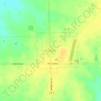
Name: Atlanta topographic map, elevation, terrain.
Location: Atlanta, Cowley County, Kansas, United States (37.43080 -96.77444 37.44050 -96.75969)
Average elevation: 1,417 ft
Minimum elevation: 1,368 ft
Maximum elevation: 1,444 ft
Cowley County trails, hiking, mountain biking, running and outdoor activities
Other topographic maps
Click on a map to view its topography, its elevation and its terrain.
Arkansas City
United States > Kansas > Cowley County > Arkansas City > Arkansas City
Average elevation: 1,112 ft