
刘川镇 topographic map
Interactive map
Click on the map to display elevation.
About this map
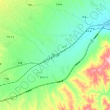
Name: 刘川镇 topographic map, elevation, terrain.
Location: 刘川镇, 靖远县, 白银市, 甘肃省, 中国 (36.60931 104.41368 36.68931 104.49368)
Average elevation: 5,348 ft
Minimum elevation: 5,066 ft
Maximum elevation: 5,932 ft
Other topographic maps
Click on a map to view its topography, its elevation and its terrain.