
靖远县 topographic map
Interactive map
Click on the map to display elevation.
About this map
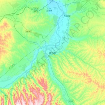
Name: 靖远县 topographic map, elevation, terrain.
Location: 靖远县, 白银市, 甘肃省, 中国 (36.39963 104.52224 36.71963 104.84224)
Average elevation: 5,135 ft
Minimum elevation: 4,511 ft
Maximum elevation: 6,768 ft
Other topographic maps
Click on a map to view its topography, its elevation and its terrain.