Geolocate

Archerwill topographic map

Click on the map to display elevation.

About this map

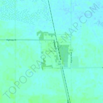
Name: Archerwill topographic map, elevation, terrain.

Location: Archerwill, Division No. 14, Saskatchewan, S0E 0B0, Canada (52.43452 -103.86827 52.44351 -103.85481)

Average elevation: 1,798 ft

Minimum elevation: 1,788 ft

Maximum elevation: 1,814 ft

Other topographic maps

Click on a map to view its topography, its elevation and its terrain.

Chelan

Canada > Saskatchewan > Division No. 14 > Bjorkdale No. 426

Average elevation: 1,631 ft

Garrick

Canada > Saskatchewan > Division No. 14

Average elevation: 1,407 ft

Gear up for your next adventure:

🦟Ultrasonic Repellers - Create a bug-free zone at your camp or rest stop
🧭Orienteering Set - Complete compass and map reading kit
📦Dry Bags Set - Waterproof storage for electronics and clothes
🪓Survival Multi‑Tool - Versatile tool for camp and trail tasks
🪵Folding Camp Saw - Compact saw for wood and campsite work

As an Amazon Associate, this site earns from qualifying purchases at no extra cost to you.