
Garrick topographic map
Click on the map to display elevation.
About this map
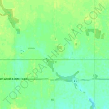
Name: Garrick topographic map, elevation, terrain.
Location: Garrick, Division No. 14, Saskatchewan, Canada (53.47051 -104.35956 53.51051 -104.31956)
Average elevation: 1,407 ft
Minimum elevation: 1,385 ft
Maximum elevation: 1,430 ft
Other topographic maps
Click on a map to view its topography, its elevation and its terrain.