
Bryson topographic map
Click on the map to display elevation.
About this map
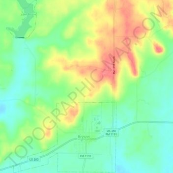
Name: Bryson topographic map, elevation, terrain.
Location: Bryson, Jack County, Texas, 76427, United States (33.15280 -98.40974 33.19643 -98.37661)
Average elevation: 1,276 ft
Minimum elevation: 1,181 ft
Maximum elevation: 1,407 ft
Jack County trails, hiking, mountain biking, running and outdoor activities
Other topographic maps
Click on a map to view its topography, its elevation and its terrain.