
Hamlin topographic map
Interactive map
Click on the map to display elevation.
About this map
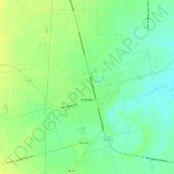
Name: Hamlin topographic map, elevation, terrain.
Location: Hamlin, Jones County, Texas, 79520, United States (32.86617 -100.16508 32.91049 -100.10566)
Average elevation: 1,726 ft
Minimum elevation: 1,693 ft
Maximum elevation: 1,755 ft
Other topographic maps
Click on a map to view its topography, its elevation and its terrain.
Stamford
United States > Texas > Jones County
Stamford, Jones County, Texas, 79553, United States
Average elevation: 1,542 ft
College Lake
United States > Texas > Jones County > Stamford
College Lake, Stamford, Jones County, Texas, United States
Average elevation: 1,568 ft
Hawley
United States > Texas > Jones County > Hawley > Hawley
Hawley, Jones County, Texas, 79525, United States
Average elevation: 1,654 ft
Hawley
United States > Texas > Jones County
Hawley, Jones County, Texas, United States
Average elevation: 1,657 ft