
西庄村 topographic map
Interactive map
Click on the map to display elevation.
About this map
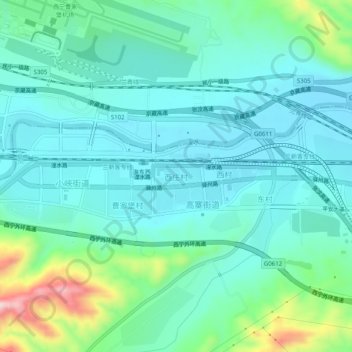
Name: 西庄村 topographic map, elevation, terrain.
Location: 西庄村, 互助土族自治县, 海东市, 青海省, 中国 (36.48801 102.03827 36.52801 102.07827)
Average elevation: 7,083 ft
Minimum elevation: 6,890 ft
Maximum elevation: 7,818 ft
Other topographic maps
Click on a map to view its topography, its elevation and its terrain.