Geolocate

Lane City topographic map

Click on the map to display elevation.

About this map

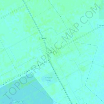
Name: Lane City topographic map, elevation, terrain.

Location: Lane City, Wharton County, Texas, 77453, United States (29.19608 -96.04635 29.23608 -96.00635)

Average elevation: 89 ft

Minimum elevation: 79 ft

Maximum elevation: 98 ft

Wharton County trails, hiking, mountain biking, running and outdoor activities

Other topographic maps

Click on a map to view its topography, its elevation and its terrain.

El Campo

United States > Texas > Wharton County

Average elevation: 112 ft

El Campo

United States > Texas > Wharton County

Average elevation: 112 ft

East Bernard

United States > Texas > Wharton County

Average elevation: 125 ft

Wharton

United States > Texas > Wharton County

Average elevation: 102 ft

Gear up for your next adventure:

🧷Carabiner Set - Durable clips for gear attachment
🔪Outdoor Multitools - Essential survival tools for gear repair and field use
🥾Hiking Shoes - Durable and comfortable shoes for trail hiking
🍳Camping Cook Set - Complete cookware for outdoor meals
🧭GPS Watch Accessories - Bands and chargers for GPS watches

As an Amazon Associate, this site earns from qualifying purchases at no extra cost to you.