Geolocate

Kingston topographic map

Click on the map to display elevation.

About this map

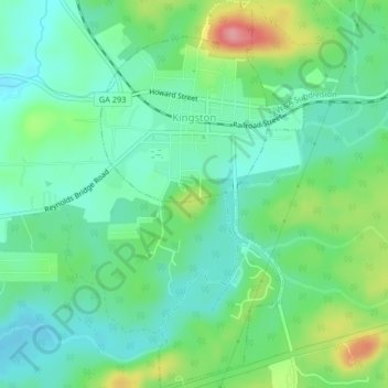
Name: Kingston topographic map, elevation, terrain.

Location: Kingston, Bartow County, Georgia, United States (34.21311 -84.95492 34.24689 -84.93351)

Average elevation: 732 ft

Minimum elevation: 627 ft

Maximum elevation: 978 ft

Bartow County trails, hiking, mountain biking, running and outdoor activities

Other topographic maps

Click on a map to view its topography, its elevation and its terrain.

Pine Mountain

United States > Georgia > Bartow County > Cartersville

Average elevation: 1,001 ft

Corbin

United States > Georgia > Bartow County

Average elevation: 1,010 ft

Stilesboro

United States > Georgia > Bartow County

Average elevation: 722 ft

Rydal

United States > Georgia > Bartow County

Average elevation: 896 ft

Gear up for your next adventure:

🧴Hand Sanitizer - Keep hands clean while hiking
🔌USB Car Charger - Car charger for on‑the‑go power needs
🧯Emergency Survival Kit - All‑in‑one survival essentials for the backcountry
📷Action Cameras - Rugged cameras to document your journeys across rugged terrain
🖼️Topo Map Wall Art - Decorative topographic prints of famous peaks and regions

As an Amazon Associate, this site earns from qualifying purchases at no extra cost to you.