
Pico los Aberrugues topographic map
Interactive map
Click on the map to display elevation.
About this map
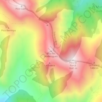
Name: Pico los Aberrugues topographic map, elevation, terrain.
Location: Pico los Aberrugues, Aller, Asturias, 33688, España (43.13586 -5.50200 43.13596 -5.50190)
Average elevation: 4,094 ft
Minimum elevation: 2,579 ft
Maximum elevation: 5,344 ft
Other topographic maps
Click on a map to view its topography, its elevation and its terrain.