
大路边镇 topographic map
Interactive map
Click on the map to display elevation.
About this map
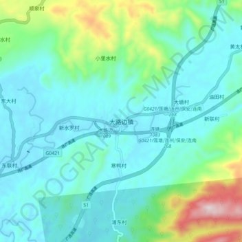
Name: 大路边镇 topographic map, elevation, terrain.
Location: 大路边镇, 清远市, 广东省, 中国 (24.99955 112.59031 25.07955 112.67031)
Average elevation: 873 ft
Minimum elevation: 423 ft
Maximum elevation: 2,687 ft
Other topographic maps
Click on a map to view its topography, its elevation and its terrain.