
石灰铺镇 topographic map
Interactive map
Click on the map to display elevation.
About this map
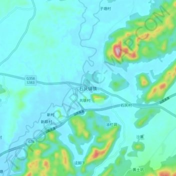
Name: 石灰铺镇 topographic map, elevation, terrain.
Location: 石灰铺镇, 清远市, 广东省, 中国 (24.22082 113.18936 24.30082 113.26936)
Average elevation: 276 ft
Minimum elevation: 105 ft
Maximum elevation: 1,371 ft
Other topographic maps
Click on a map to view its topography, its elevation and its terrain.