
连南瑶族自治县 topographic map
Interactive map
Click on the map to display elevation.
About this map
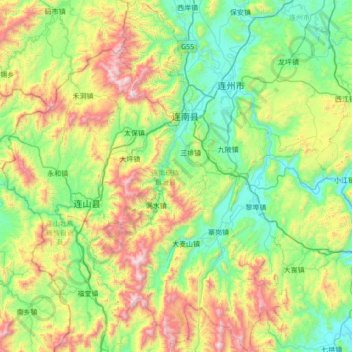
Name: 连南瑶族自治县 topographic map, elevation, terrain.
Location: 连南瑶族自治县, 清远市, 广东省, 中国 (24.30530 112.04993 24.93386 112.48369)
Average elevation: 1,686 ft
Minimum elevation: 223 ft
Maximum elevation: 5,266 ft
Other topographic maps
Click on a map to view its topography, its elevation and its terrain.