
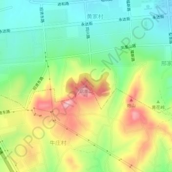
凤凰山 topographic map
Interactive map
Click on the map to display elevation.
About this map
Name: 凤凰山 topographic map, elevation, terrain.
Location: 凤凰山, 烟台市, 山东省, 264000, 中国 (37.51005 121.20516 37.51015 121.20526)
Average elevation: 269 ft
Minimum elevation: 52 ft
Maximum elevation: 584 ft
Other topographic maps
Click on a map to view its topography, its elevation and its terrain.