
大肚山 topographic map
Interactive map
Click on the map to display elevation.
About this map
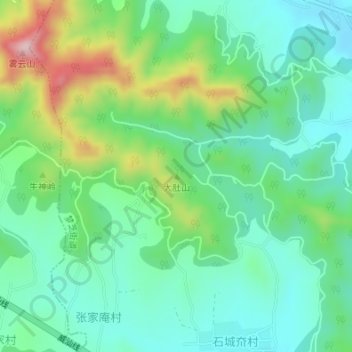
Name: 大肚山 topographic map, elevation, terrain.
Location: 大肚山, 烟台市, 山东省, 264000, 中国 (37.37766 120.34751 37.37776 120.34761)
Average elevation: 587 ft
Minimum elevation: 292 ft
Maximum elevation: 1,309 ft
Other topographic maps
Click on a map to view its topography, its elevation and its terrain.