
西瓜岭 topographic map
Interactive map
Click on the map to display elevation.
About this map
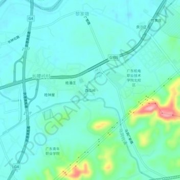
Name: 西瓜岭 topographic map, elevation, terrain.
Location: 西瓜岭, 钟落潭镇, 白云区, 广州市, 广东省, 中国 (23.36417 113.41182 23.40417 113.45182)
Average elevation: 112 ft
Minimum elevation: 23 ft
Maximum elevation: 492 ft
Other topographic maps
Click on a map to view its topography, its elevation and its terrain.