
Fort Morgan topographic map
Click on the map to display elevation.
About this map
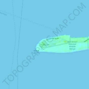
Name: Fort Morgan topographic map, elevation, terrain.
Location: Fort Morgan, Baldwin County, Alabama, United States (30.20819 -88.04291 30.24819 -88.00291)
Average elevation: 0 ft
Minimum elevation: 0 ft
Maximum elevation: 36 ft
Baldwin County trails, hiking, mountain biking, running and outdoor activities
Other topographic maps
Click on a map to view its topography, its elevation and its terrain.
Fairhope
United States > Alabama > Baldwin County > Fairhope
According to the U.S. Census Bureau, the city has a total area of 12.0 square miles (31.1 km2), of which 0.019 square mile (0.05 km2), or 0.16%, is water. Its elevation ranges from sea level at the bay to 122 feet (37 m) in the city center.
Average elevation: 115 ft