Geolocate

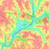
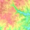
Connoquenessing topographic map

Click on the map to display elevation.

About this map
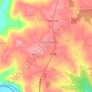
Name: Connoquenessing topographic map, elevation, terrain.

Location: Connoquenessing, Butler County, Pennsylvania, 16027, United States (40.80754 -80.02956 40.82566 -79.99816)

Average elevation: 1,211 ft

Minimum elevation: 932 ft

Maximum elevation: 1,312 ft

Butler County trails, hiking, mountain biking, running and outdoor activities

Other topographic maps

Click on a map to view its topography, its elevation and its terrain.
North Fork

United States > Pennsylvania > Butler County

Average elevation: 1,191 ft

Oneida

United States > Pennsylvania > Butler County

Average elevation: 1,184 ft

Redmond

United States > Pennsylvania > Butler County > Redmond

Average elevation: 1,322 ft

Butler

United States > Pennsylvania > Butler County > Butler

Average elevation: 1,194 ft

Hooker

United States > Pennsylvania > Butler County > Hooker

Average elevation: 1,319 ft

Northvue

United States > Pennsylvania > Butler County

Average elevation: 1,296 ft

Lernerville

United States > Pennsylvania > Butler County

Average elevation: 1,207 ft

Clinton

United States > Pennsylvania > Butler County

Average elevation: 1,230 ft

Muddy Creek

United States > Pennsylvania > Butler County

Average elevation: 1,335 ft

Cabot

United States > Pennsylvania > Butler County > Knox Chapel

Average elevation: 1,302 ft

Fenelton

United States > Pennsylvania > Butler County

Average elevation: 1,220 ft

Herman

United States > Pennsylvania > Butler County

Average elevation: 1,280 ft

Gear up for your next adventure:

🔦Compact Flashlight - Reliable flashlight for emergencies
🔥Plasma Lighters - Windproof lighters that work in any weather condition
🌡️Handheld Weather Meters - Measure wind, temp, and pressure for safe mountain travel
🧷Carabiner Set - Durable clips for gear attachment
⛑️Personal Locator Beacon - Safety beacon for emergencies

As an Amazon Associate, this site earns from qualifying purchases at no extra cost to you.