
Northvue topographic map
Click on the map to display elevation.
About this map
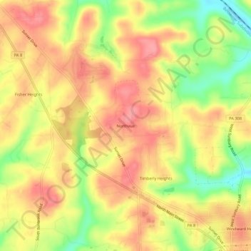
Name: Northvue topographic map, elevation, terrain.
Average elevation: 1,296 ft
Minimum elevation: 1,112 ft
Maximum elevation: 1,411 ft
Butler County trails, hiking, mountain biking, running and outdoor activities
Other topographic maps
Click on a map to view its topography, its elevation and its terrain.
Shanor-Northvue
United States > Pennsylvania > Butler County > Windward Heights
Average elevation: 1,240 ft
Fernway
United States > Pennsylvania > Butler County > Cranberry Township > Fernway
Average elevation: 1,086 ft