
China Grove topographic map
Click on the map to display elevation.
About this map
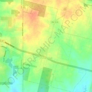
Name: China Grove topographic map, elevation, terrain.
Location: China Grove, Bexar County, Texas, United States (29.37360 -98.36076 29.41456 -98.32020)
Average elevation: 646 ft
Minimum elevation: 574 ft
Maximum elevation: 709 ft
Bexar County trails, hiking, mountain biking, running and outdoor activities
Other topographic maps
Click on a map to view its topography, its elevation and its terrain.