Geolocate

Dwale topographic map

Click on the map to display elevation.

About this map

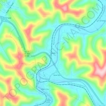
Name: Dwale topographic map, elevation, terrain.

Location: Dwale, Floyd County, Kentucky, 41621, United States (37.60315 -82.74377 37.64315 -82.70377)

Average elevation: 886 ft

Minimum elevation: 607 ft

Maximum elevation: 1,411 ft

Floyd County trails, hiking, mountain biking, running and outdoor activities

Other topographic maps

Click on a map to view its topography, its elevation and its terrain.

Wheelwright

United States > Kentucky > Floyd County

Average elevation: 1,460 ft

Allen

United States > Kentucky > Floyd County

Average elevation: 856 ft

Martin

United States > Kentucky > Floyd County

Average elevation: 883 ft

Gear up for your next adventure:

🗺️NatGeo Topo Maps - High-quality waterproof printed topographic maps of US Parks
🦟Ultrasonic Repellers - Create a bug-free zone at your camp or rest stop
💧Water Purification System - Clean water on the trail with reliable purifiers
🧦Merino Wool Socks - Moisture-wicking, blister-preventing socks for long treks
📻Weather Alert Radios - Stay informed of storm risks while off-the-grid

As an Amazon Associate, this site earns from qualifying purchases at no extra cost to you.