
Cole Lake topographic map
Click on the map to display elevation.
About this map
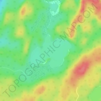
Name: Cole Lake topographic map, elevation, terrain.
Average elevation: 1,368 ft
Minimum elevation: 1,266 ft
Maximum elevation: 1,483 ft
Other topographic maps
Click on a map to view its topography, its elevation and its terrain.
Nungesser Lake
Canada > Ontario > Kenora District > Unorganized Kenora District
Average elevation: 1,352 ft
Sunlight Lake
Canada > Ontario > Kenora District > Unorganized Kenora District
Average elevation: 1,227 ft