Geolocate

Burns topographic map

Interactive map

Click on the map to display elevation.

About this map

Name: Burns topographic map, elevation, terrain.

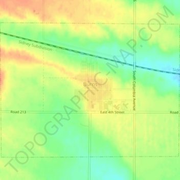
Location: Burns, Laramie County, Wyoming, United States (41.17984 -104.37853 41.20190 -104.33942)

Average elevation: 5,486 ft

Minimum elevation: 5,417 ft

Maximum elevation: 5,541 ft

Other topographic maps

Click on a map to view its topography, its elevation and its terrain.

Cheyenne

United States > Wyoming > Laramie County

Cheyenne, Laramie County, Wyoming, United States

Average elevation: 6,138 ft

Ranchettes

United States > Wyoming > Laramie County > Cheyenne

Ranchettes, Cheyenne, Laramie County, Wyoming, 82009, United States

Average elevation: 6,132 ft

Pine Bluffs

United States > Wyoming > Laramie County

Pine Bluffs, Laramie County, Wyoming, 82082, United States

Average elevation: 5,082 ft

South Greeley

United States > Wyoming > Laramie County > Cheyenne

South Greeley, Cheyenne, Laramie County, Wyoming, 82007, United States

Average elevation: 6,060 ft

Hillsdale

United States > Wyoming > Laramie County

Hillsdale, Laramie County, Wyoming, 82060, United States

Average elevation: 5,676 ft

Cheyenne

United States > Wyoming > Laramie County > Cheyenne

Cheyenne, Laramie County, Wyoming, 82002, United States

Average elevation: 6,204 ft

Sloans Lake

United States > Wyoming > Laramie County > Cheyenne

Sloans Lake, Cheyenne, Laramie County, Wyoming, United States

Average elevation: 6,138 ft