
St. Anthony topographic map
Click on the map to display elevation.
About this map
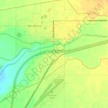
Name: St. Anthony topographic map, elevation, terrain.
Location: St. Anthony, Fremont County, Idaho, United States (43.94593 -111.69791 43.97788 -111.66552)
Average elevation: 4,970 ft
Minimum elevation: 4,911 ft
Maximum elevation: 5,000 ft
Fremont County trails, hiking, mountain biking, running and outdoor activities
Other topographic maps
Click on a map to view its topography, its elevation and its terrain.
Island Park
United States > Idaho > Fremont County
Island Park is located at 44°29′59″N 111°20′19″W / 44.49972°N 111.33861°W / 44.49972; -111.33861 (44.4996, −111.3387), at an elevation of 6,293 feet (1,918 m) above sea level, making it the highest city in Idaho.
Average elevation: 6,437 ft
American Legion / Daughters of Utah Pioneers Park
United States > Idaho > Fremont County > St. Anthony
Average elevation: 4,970 ft