Geolocate

Johnson topographic map

Click on the map to display elevation.

About this map

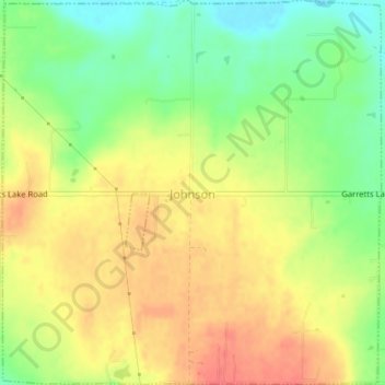
Name: Johnson topographic map, elevation, terrain.

Location: Johnson, Pottawatomie County, Oklahoma, United States (35.39102 -96.85954 35.42030 -96.82405)

Average elevation: 1,020 ft

Minimum elevation: 919 ft

Maximum elevation: 1,109 ft

Pottawatomie County trails, hiking, mountain biking, running and outdoor activities

Other topographic maps

Click on a map to view its topography, its elevation and its terrain.

Macomb

United States > Oklahoma > Pottawatomie County > Macomb

Average elevation: 978 ft

Centerview

United States > Oklahoma > Pottawatomie County

Average elevation: 961 ft

Harjo

United States > Oklahoma > Pottawatomie County

Average elevation: 932 ft

Trousdale

United States > Oklahoma > Pottawatomie County

Average elevation: 997 ft

Gear up for your next adventure:

📷Action Camera - Capture your outdoor adventures in HD
🔥Fast-Boil Camping Stoves - Efficient cooking systems for quick trail meals
🪶Paracord Bracelet - Survival bracelet with built‑in tools
📡GPS Antenna Upgrade - Enhance GPS reception in remote terrain
🧥Waterproof Jacket for Hiking - Breathable and rugged rain jacket for outdoor excursions

As an Amazon Associate, this site earns from qualifying purchases at no extra cost to you.