Geolocate

Deerwalk topographic map

Click on the map to display elevation.

About this map

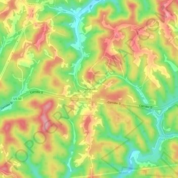
Name: Deerwalk topographic map, elevation, terrain.

Location: Deerwalk, Wood County, West Virginia, 26180, United States (39.23396 -81.34789 39.27396 -81.30789)

Average elevation: 925 ft

Minimum elevation: 712 ft

Maximum elevation: 1,122 ft

Wood County trails, hiking, mountain biking, running and outdoor activities

Other topographic maps

Click on a map to view its topography, its elevation and its terrain.

Parkersburg

United States > West Virginia > Wood County

Average elevation: 702 ft

Williamstown

United States > West Virginia > Wood County

Average elevation: 646 ft

Vienna

United States > West Virginia > Wood County

Average elevation: 702 ft

Washington

United States > West Virginia > Wood County

Average elevation: 682 ft

Vienna

United States > West Virginia > Wood County

Average elevation: 702 ft

Parkersburg

United States > West Virginia > Wood County

Average elevation: 699 ft

Washington

United States > West Virginia > Wood County

Average elevation: 682 ft

Parkersburg

United States > West Virginia > Wood County

Average elevation: 702 ft

Gear up for your next adventure:

🔪Outdoor Multitools - Essential survival tools for gear repair and field use
🖼️Topo Map Wall Art - Decorative topographic prints of famous peaks and regions
🦺Reflective Outdoor Gear - Safety gear for low‑light conditions
🔦Compact Flashlight - Reliable flashlight for emergencies
🛡️Bear Spray Outdoor - Protection in bear country hikes

As an Amazon Associate, this site earns from qualifying purchases at no extra cost to you.