
Gasconade topographic map
Click on the map to display elevation.
About this map
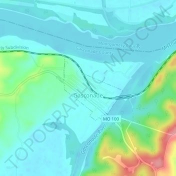
Name: Gasconade topographic map, elevation, terrain.
Location: Gasconade, Gasconade County, Missouri, 65036, United States (38.66553 -91.56649 38.67562 -91.55333)
Average elevation: 554 ft
Minimum elevation: 489 ft
Maximum elevation: 820 ft
Gasconade County trails, hiking, mountain biking, running and outdoor activities
Other topographic maps
Click on a map to view its topography, its elevation and its terrain.