Geolocate

Bay topographic map

Click on the map to display elevation.

About this map

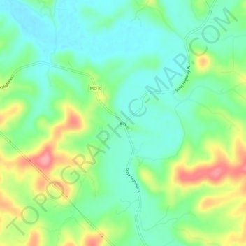
Name: Bay topographic map, elevation, terrain.

Location: Bay, Gasconade County, Missouri, United States (38.48838 -91.57850 38.52838 -91.53850)

Average elevation: 633 ft

Minimum elevation: 515 ft

Maximum elevation: 856 ft

Gasconade County trails, hiking, mountain biking, running and outdoor activities

Other topographic maps

Click on a map to view its topography, its elevation and its terrain.

Hermann

United States > Missouri > Gasconade County

Average elevation: 623 ft

Gasconade

United States > Missouri > Gasconade County

Average elevation: 554 ft

Rosebud

United States > Missouri > Gasconade County

Average elevation: 863 ft

Morrison

United States > Missouri > Gasconade County

Average elevation: 568 ft

Gear up for your next adventure:

🥾Women's Hiking Boots - Top-rated trail boots with ankle support and superior grip
🧭GPS Watch Accessories - Bands and chargers for GPS watches
📚Navigation Handbooks - Master the art of reading topographic maps and using a compass
🧢Outdoor Hiking Hat - Sun protection hat for outdoor explorers
🏥Hiking First Aid Kits - Comprehensive medical kits for remote trail injuries

As an Amazon Associate, this site earns from qualifying purchases at no extra cost to you.