Geolocate

Quillualpa topographic map

Click on the map to display elevation.

About this map

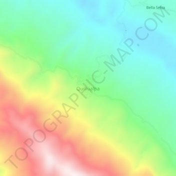
Name: Quillualpa topographic map, elevation, terrain.

Location: Quillualpa, Moyobamba, San Martín, Perú (-5.95270 -76.96229 -5.91270 -76.92229)

Average elevation: 3,711 ft

Minimum elevation: 2,818 ft

Maximum elevation: 5,177 ft

Other topographic maps

Click on a map to view its topography, its elevation and its terrain.

Santa Clara

Perú > San Martín > Moyobamba

Average elevation: 2,707 ft

Lluyllucucha

Perú > San Martín > Moyobamba

Average elevation: 2,753 ft

Río Mayo

Perú > San Martín > Moyobamba > La Primavera

Average elevation: 2,802 ft

Gear up for your next adventure:

🥘Titanium Cookware - Durable, featherlight pots and pans for backpacking
🦶Carbon Trekking Poles - Reduce knee impact on steep descents with ultra-light poles
Backpacking Tent - Lightweight and durable tent for multi‑day hikes
🌐World Map Poster - Decorative world maps with topographic info
🗻Climbing Gear Basics - Essential gear for beginner climbers

As an Amazon Associate, this site earns from qualifying purchases at no extra cost to you.