
Make a donation
Gear up for your next adventure:
As an Amazon Associate, this site earns from qualifying purchases at no extra cost to you.
Half Moon topographic map
Click on the map to display elevation.
Make a donation
Gear up for your next adventure:
As an Amazon Associate, this site earns from qualifying purchases at no extra cost to you.
About this map
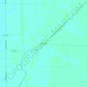
Name: Half Moon topographic map, elevation, terrain.
Location: Half Moon, Mississippi County, Arkansas, United States (35.89202 -90.03453 35.93202 -89.99453)
Average elevation: 243 ft
Minimum elevation: 233 ft
Maximum elevation: 249 ft
Make a donation
Gear up for your next adventure:
As an Amazon Associate, this site earns from qualifying purchases at no extra cost to you.
Other topographic maps
Click on a map to view its topography, its elevation and its terrain.
Make a donation
Gear up for your next adventure:
As an Amazon Associate, this site earns from qualifying purchases at no extra cost to you.
Left Hand Chute of Little River
United States > Arkansas > Mississippi County
Average elevation: 230 ft