
Sélange topographic map
Interactive map
Click on the map to display elevation.
About this map
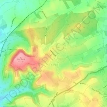
Name: Sélange topographic map, elevation, terrain.
Location: Sélange, Messancy, Aarlen, Luxemburg, Wallonië, België (49.59662 5.82673 49.62676 5.88009)
Average elevation: 1,122 ft
Minimum elevation: 938 ft
Maximum elevation: 1,339 ft
Other topographic maps
Click on a map to view its topography, its elevation and its terrain.