Geolocate

Short topographic map

Click on the map to display elevation.

About this map

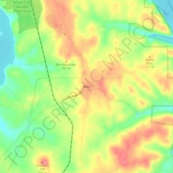
Name: Short topographic map, elevation, terrain.

Location: Short, Tishomingo County, Mississippi, United States (34.92037 -88.21782 34.96037 -88.17782)

Average elevation: 548 ft

Minimum elevation: 407 ft

Maximum elevation: 676 ft

Tishomingo County trails, hiking, mountain biking, running and outdoor activities

Other topographic maps

Click on a map to view its topography, its elevation and its terrain.

Iuka

United States > Mississippi > Tishomingo County

Average elevation: 584 ft

Burnsville

United States > Mississippi > Tishomingo County

Average elevation: 499 ft

Golden

United States > Mississippi > Tishomingo County

Average elevation: 558 ft

Gear up for your next adventure:

🔦LED Headlamp - Bright and durable LED headlamp for night navigation
🖼️Topo Map Wall Art - Decorative topographic prints of famous peaks and regions
🪶Multi‑Purpose Knife - Useful blade for camp and trail
🔪Outdoor Multitools - Essential survival tools for gear repair and field use
📷Action Cameras - Rugged cameras to document your journeys across rugged terrain

As an Amazon Associate, this site earns from qualifying purchases at no extra cost to you.