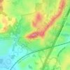
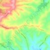
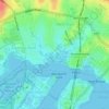
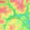
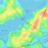
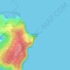
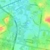
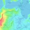
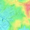
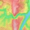
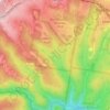
Mount Lewis topographic map
Click on the map to display elevation.
About this map

Name: Mount Lewis topographic map, elevation, terrain.
Location: Mount Lewis, Sydney, New South Wales, 2190, Australia (-33.91806 151.04488 -33.91335 151.05599)
Average elevation: 128 ft
Minimum elevation: 30 ft
Maximum elevation: 223 ft
Other topographic maps
Click on a map to view its topography, its elevation and its terrain.