
Rosedale topographic map
Click on the map to display elevation.
About this map
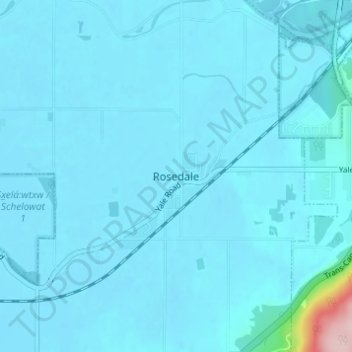
Name: Rosedale topographic map, elevation, terrain.
Average elevation: 75 ft
Minimum elevation: 36 ft
Maximum elevation: 820 ft
Other topographic maps
Click on a map to view its topography, its elevation and its terrain.
Vedder River
Canada > British Columbia > Fraser Valley Regional District > Chilliwack
Average elevation: 361 ft
Ryder Lake
Canada > British Columbia > Fraser Valley Regional District > Chilliwack
Average elevation: 837 ft