
Filer topographic map
Click on the map to display elevation.
Filer
Filer is located at 42°34′11″N 114°36′41″W / 42.56972°N 114.61139°W / 42.56972; -114.61139 (42.569814, -114.611313), at an elevation of 3,766 feet (1,148 m) above sea level.
About this map
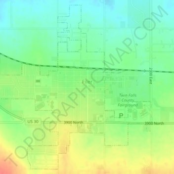
Name: Filer topographic map, elevation, terrain.
Location: Filer, Twin Falls County, Idaho, United States (42.55661 -114.62877 42.58207 -114.59435)
Average elevation: 3,770 ft
Minimum elevation: 3,701 ft
Maximum elevation: 3,862 ft
Twin Falls County trails, hiking, mountain biking, running and outdoor activities
Other topographic maps
Click on a map to view its topography, its elevation and its terrain.