Geolocate

Morrison topographic map

Click on the map to display elevation.

About this map

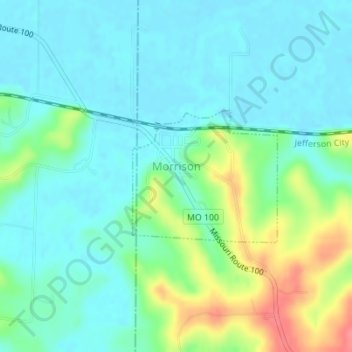
Name: Morrison topographic map, elevation, terrain.

Location: Morrison, Gasconade County, Missouri, United States (38.66698 -91.64060 38.67710 -91.62636)

Average elevation: 568 ft

Minimum elevation: 505 ft

Maximum elevation: 741 ft

Gasconade County trails, hiking, mountain biking, running and outdoor activities

Other topographic maps

Click on a map to view its topography, its elevation and its terrain.

Bay

United States > Missouri > Gasconade County

Average elevation: 633 ft

Hermann

United States > Missouri > Gasconade County > Hermann > Hermann

Average elevation: 597 ft

Gear up for your next adventure:

🔌USB Car Charger - Car charger for on‑the‑go power needs
🔭Stargazing Telescopes - Perfect for camping in low-light pollution areas shown on maps
🔋Rechargeable Batteries - Power up your outdoor devices
❄️Traction Cleats - Prevent slips on icy trails during winter hikes
🌐World Map Poster - Decorative world maps with topographic info

As an Amazon Associate, this site earns from qualifying purchases at no extra cost to you.